How to reach Rifugio Viola
Rifugio Viola is located in Alta Valtellina, in Val Viola.
Along the main street (SS 301 - Foscagno) from Bormio to Livigno, there is a small village called Arnoga (1870 meters).
At the kilometer number 15,6 (along SS302 – Foscagno) there is a hairpin turn with the street to follow for Val Viola.
Following this direction it’s possible to find a totem where to buy the daily ticket for car (5,00 €).
After the purchasing, it’s possible to go on by car for 5 kilometers, until “Altumeira parking place” (number 4).
Please, note: the ticket machine sells daily tickets only. For multi-day tickets please contact Valdidentro Tourism Office before arrival for the online purchase.
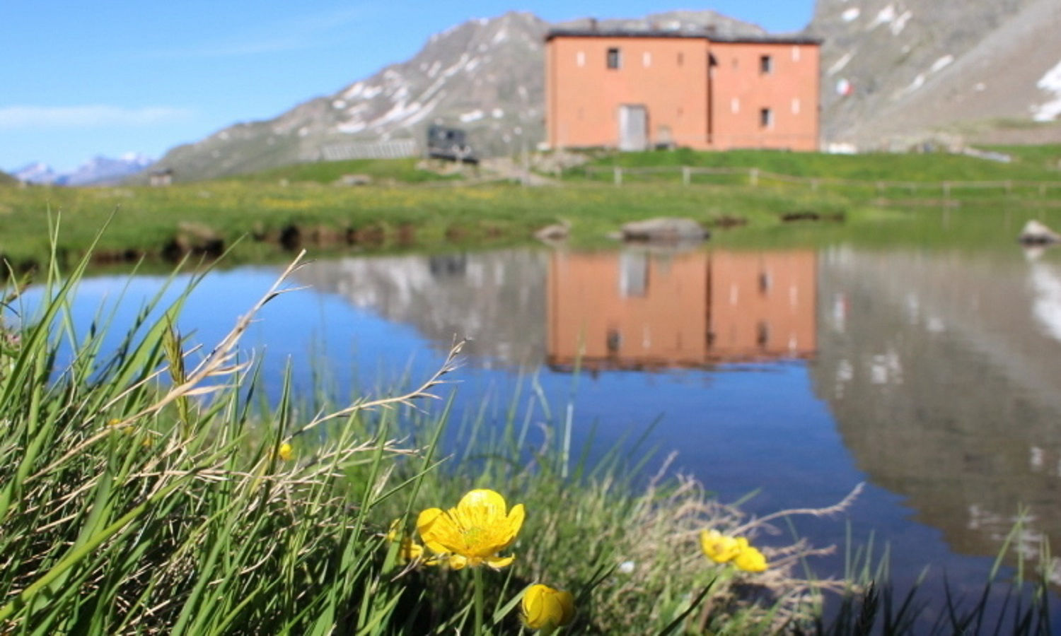
Here starts the walk. After the first 2 kilometers it’s possible to see Viola Lake (2267 m) and with the last kilometer you reach the hut.
Is also possible to follow a different street to reach us. This trail (n° 291) starts from Arnoga and passes through “Agriturismo Baita Caricc” and “Rifugio Federico Valgoi” in Dosdè Valley; the walk is 2 hours and a half long.
Another one different path is from Switzerland to Italy. Starting from “Sfazù” village and passing through Val Di Campo (with its beautiful alpine lakes), it’s possible to reach Viola Pass and then Rifugio Viola. This trail is almost 3 hours by foot long.
![]() = Easy
= Easy ![]()
![]() = Medium
= Medium ![]()
![]()
![]() = For experts
= For experts